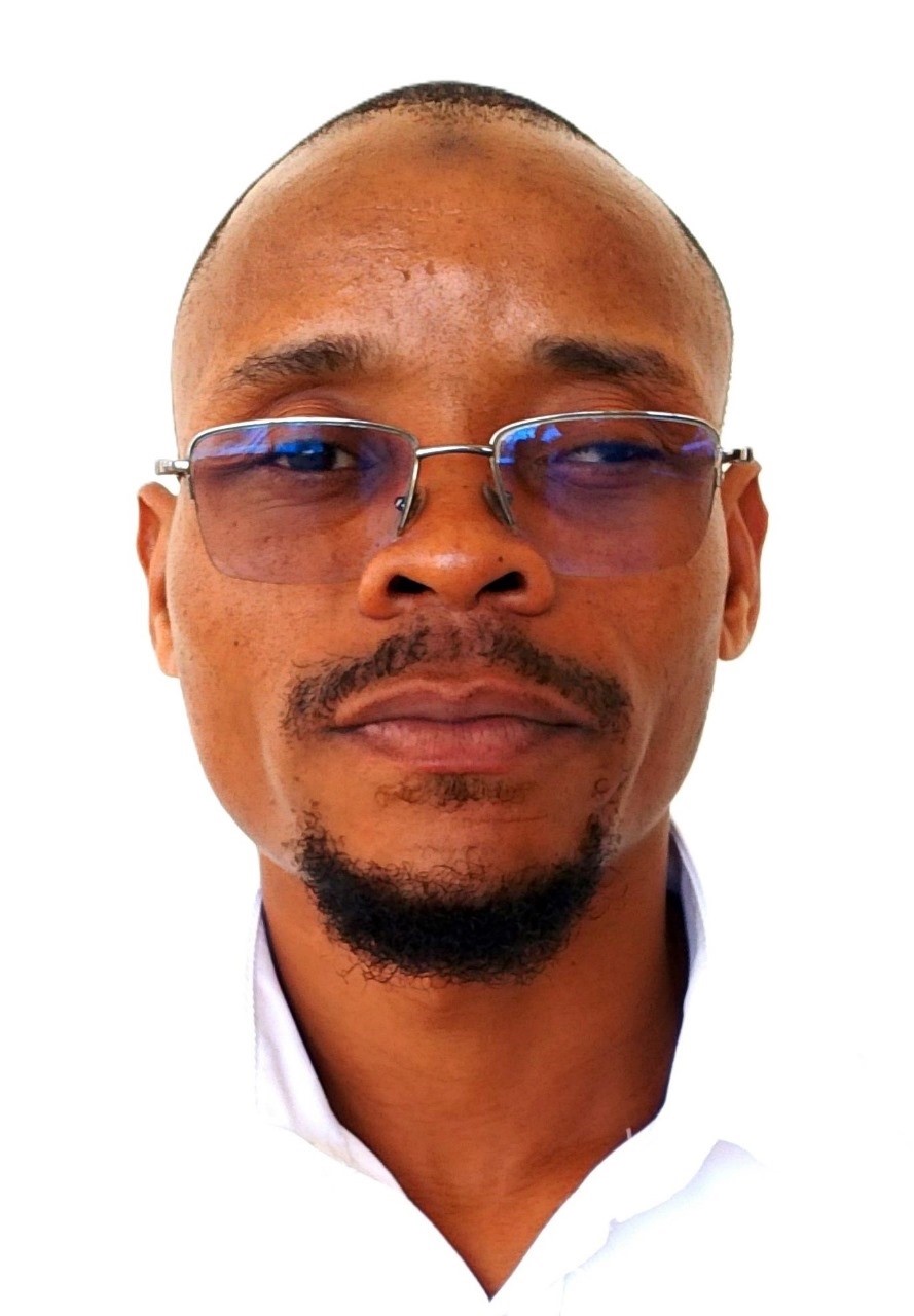
Research Scientist Physical Oceanography Physical Oceanography & Hydrography Ocean Circulation • Tidal Dynamics • Metocean Monitoring • Coastal Modelling Email: asalim@kmfri.go.ke Years of Experience 2017-present (9 years at KMFRI) Research Interests Ocean circulation and its influence on ocean productivity and coastal ecosystem functioning; Tidal dynamics, harmonic analysis, tidal prediction and sea-level variability; Hydrodynamic and morphological numerical modelling of coastal systems; Metocean observation, instrumentation, data quality management, and reporting; Hydrography, bathymetry, marine GIS and satellite-derived bathymetry; Climate change, climate variability and coastal vulnerability assessment; Operational oceanography, marine weather and wave forecasting, and marine safety advisory services; Sediment transport, beach processes and coastal erosion; Remote sensing and GIS for potential fishing zone identification and marine spatial planning | Research Focus: Examining ocean water circulation and how it influences ocean productivity along the Kenyan coast and in the wider Western Indian Ocean, advancing understanding of the marine environment and its interactions with Earth systems. Athman Salim Hussein is a Research Scientist in Physical Oceanography at the Kenya Marine and Fisheries Research Institute (KMFRI), Mombasa. He joined KMFRI in July 2017 as an Assistant Research Officer and was appointed Research Scientist in July 2022. He holds an MSc in Climate Change from the University of Nairobi (2023), for which he modelled daily wind speed and direction using harmonic analysis to support a seawater greenhouse design in Kilifi County, and a BSc (Hons) in Physics from Masinde Muliro University of Science and Technology (2016). His research examines ocean water circulation and how it influences ocean productivity along the Kenyan coast and in the wider Western Indian Ocean. His work spans metocean and environmental monitoring, tidal analysis and prediction, hydrodynamic and morphological modelling, regional ocean modelling, coastal and ocean floor mapping, satellite-derived bathymetry, Lagrangian particle tracking model, coastal vulnerability assessment and marine spatial planning. He generates the official tide tables for the ports of Mombasa and Lamu and issues KMFRI's Marine Wind and Ocean Wave Advisory for Kenyan coastal water and works routinely with in-situ observing systems, ADCP current meters, CTD profilers, tide gauges and automatic weather stations, alongside satellite and reanalysis products. He has trained at IHE Delft (morphological modelling with Delft3D), INCOIS/ITCOcean in India (sea-level analysis, coastal vulnerability assessment and mapping), and through the OceanTeacher Global Academy and IOC/IODE (marine spatial planning, ocean data management, vessel-based ocean monitoring). In 2026, he completed the SEAMARCS/GLOSS technical training on strengthening sea level monitoring and data management in East Africa, held in Maputo. He has taken part in sea-going research and training, including the IIOE-2 cruise aboard the RV SA Agulhas II and the Advanced Ocean Synergy at-sea training aboard the Statsraad Lehmkuhl. He has contributed hydrographic and metocean expertise to national infrastructure and blue economy projects, including the Shimoni Port Development Project and the Mombasa Port Development Project Phase III, and is engaged in regional programmes such as SEAMARCS under UNESCO/IOC-AFRICA. He aims to become a leading physical oceanographer in Kenya, advancing understanding of the marine environment and its interactions with Earth systems, predicting future oceanic changes and assessing their impacts on human life. Research & Administrative Responsibility - ▹ Generating official tide tables and tidal predictions for the ports of Mombasa and Lamu
- ▹ Sea-level station operation and data management: telemetry configuration, quality control of sea-level records using the IOC Sea Level Station Monitoring Facility, tidal datum determination, and station levelling and GNSS site-stability assessment, in line with GLOSS practice
- ▹ Preparing and issuing KMFRI's Marine Wind and Ocean Wave Advisory for Kenyan coastal waters: interpreting WMO Multi-model Framework output into wind and significant wave height forecasts by zone, and issuing safety guidance for small vessels and fishermen, medium and large vessels, coastal communities and coastal aviation
- ▹ Coastal and ocean floor mapping, bathymetric and hydrographic survey work
- ▹ Metocean and environmental monitoring for coastal development projects, including ocean current measurement, tidal and sedimentation monitoring, and metocean data reporting
- ▹ Hydrodynamic and morphological modelling in support of aquaculture siting, port operations and coastal engineering studies
- ▹ Identifying and prioritizing research problems with stakeholders; developing research concepts for donor support; budgeting and resource management for research projects
- ▹ Identifying suitable experimental sites, designing experimental trials, and analyzing and interpreting research data using specialized software
- ▹ Developing and submitting metadata; participating in the implementation of relevant ISO standards
- ▹ Writing technical research reports, peer-reviewed publications, conference posters and dissemination materials
- ▹ Supervising dissemination activities including open days and ASK Shows
- ▹ Knowledge sharing, transfer and mentorship of Assistant Research Scientists, interns, students on attachment and visiting groups
Selected Projects and Consultancies - ▹ Mombasa Port Development Project Phase III — Environmental Impact Assessment (2024): bathymetry and metocean data collection, analysis, reporting and stakeholder engagement
- ▹ 2Africa Pearl Submarine Cable System, landing in Qatar — Environmental Impact Assessment (2024)
- ▹ Hydrographic survey for detailed design — Shimoni Port Development Project, Kwale County (2020)
- ▹ Response of fish cages to tidal variation, waves and current speed — Kibokoni Creek, Kilifi County (2018)
- ▹ Current speed and direction assessment for a desalination plant, Kilifi County (2018)
Research Interest / Areas of Expertise - ▹ Ocean circulation and its influence on ocean productivity and coastal ecosystem functioning
- ▹ Tidal dynamics, harmonic analysis, tidal prediction and sea-level variability
- ▹ Hydrodynamic and morphological numerical modelling of coastal systems
- ▹ Metocean observation, instrumentation, data quality management, and reporting
- ▹ Hydrography, bathymetry, marine GIS and satellite-derived bathymetry
- ▹ Climate change, climate variability and coastal vulnerability assessment
- ▹ Operational oceanography, marine weather and wave forecasting, and marine safety advisory services
- ▹ Sediment transport, beach processes and coastal erosion
- ▹ Remote sensing and GIS for potential fishing zone identification and marine spatial planning
Academic Qualifications - ▹ MSc in Climate Change — University of Nairobi, 2023
- ▹ BSc (Hons) in Physics, Second Class Honours (Upper Division) — Masinde Muliro University of Science and Technology, 2016
Selected Professional Training - ▹ Strengthening sea level monitoring and data management in East Africa for coastal resilience and community safety (37-hour technical training) — SEAMARCS Project and GLOSS, with IOC-UNESCO, OTGA, VLIZ and ITRANSMAR; Maputo, Mozambique, 2026
- ▹ Advanced Ocean Synergy at-sea training — NERSC/ESA, aboard Statsraad Lehmkuhl, 2023
- ▹ Supervisory skills development — Kenya Institute of Management, 2023
- ▹ Vessel-based ocean monitoring with applications to Dr Fridtjof Nansen surveys — IOC/IODE, Namibia, 2022
- ▹ Ocean data management — IOC-UNESCO/IODE, 2022
- ▹ Understanding sea level: data analysis and applications — INCOIS, India, 2020
- ▹ Morphological modelling using Delft3D — IHE Delft, The Netherlands, 2020
- ▹ Coastal vulnerability mapping and analysis using QGIS — INCOIS, India, 2019
- ▹ Coastal vulnerability assessment and monitoring for sea-level rise and storm surges in the Indian Ocean region — ITCOcean, India, 2019
- ▹ Marine GIS applications — KMFRI, Mombasa, 2019
- ▹ Marine spatial planning — OceanTeacher Global Academy, KMFRI, 2018
- ▹ Discovery and use of operational ocean data products and services — OceanTeacher Global Academy, India, 2018
- ▹ Ocean current speed and direction, and wave data collection and analysis — NORTEK, Mombasa, 2018
- ▹ Cruise training: CTD rosette operation and data processing (SBE Data Processing) — IIOE-2 cruise aboard RV SA Agulhas II, 2017
Professional Membership - ▹ Western Indian Ocean Marine Science Association (WIOMSA) – Member
- ▹ OceanExpert – Member
Selected Publications Mirera DO, Salim A, Kendi K (2023). Hydrodynamics of nearshore coastal waters: implications for marine cage farming in Kenya. Western Indian Ocean Journal of Marine Science, 22(2): 25-41. doi:10.4314/wiojms.v22i2.32Athman SH, Hole GM, Magori C, Ndirangu S, Zamu MS (2020). Fish cage site selection at Kibuyuni in Kwale County, Kenya: tidal variations, wave height, current speed and direction status. Journal of Aquaculture Research & Development, 12: 626. Holeh GM, Magondu EW, Njiru JM, Tsuma S, Salim A, Muriuki AM, et al. (2020). Social economic survey and feasibility study to initiate cage fish farming in Kenyan coastal creeks. Journal of Aquaculture Research & Development, 11(11). doi:10.35248/2155-9546.20.10.617 Links |